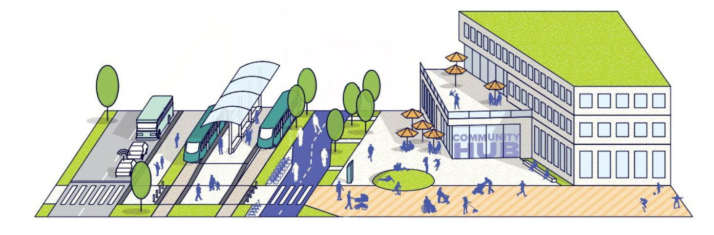
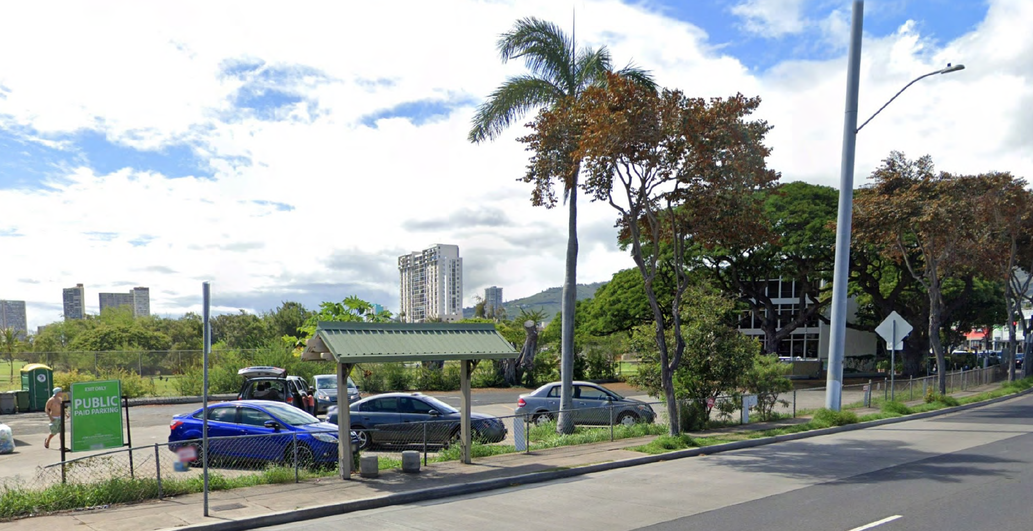
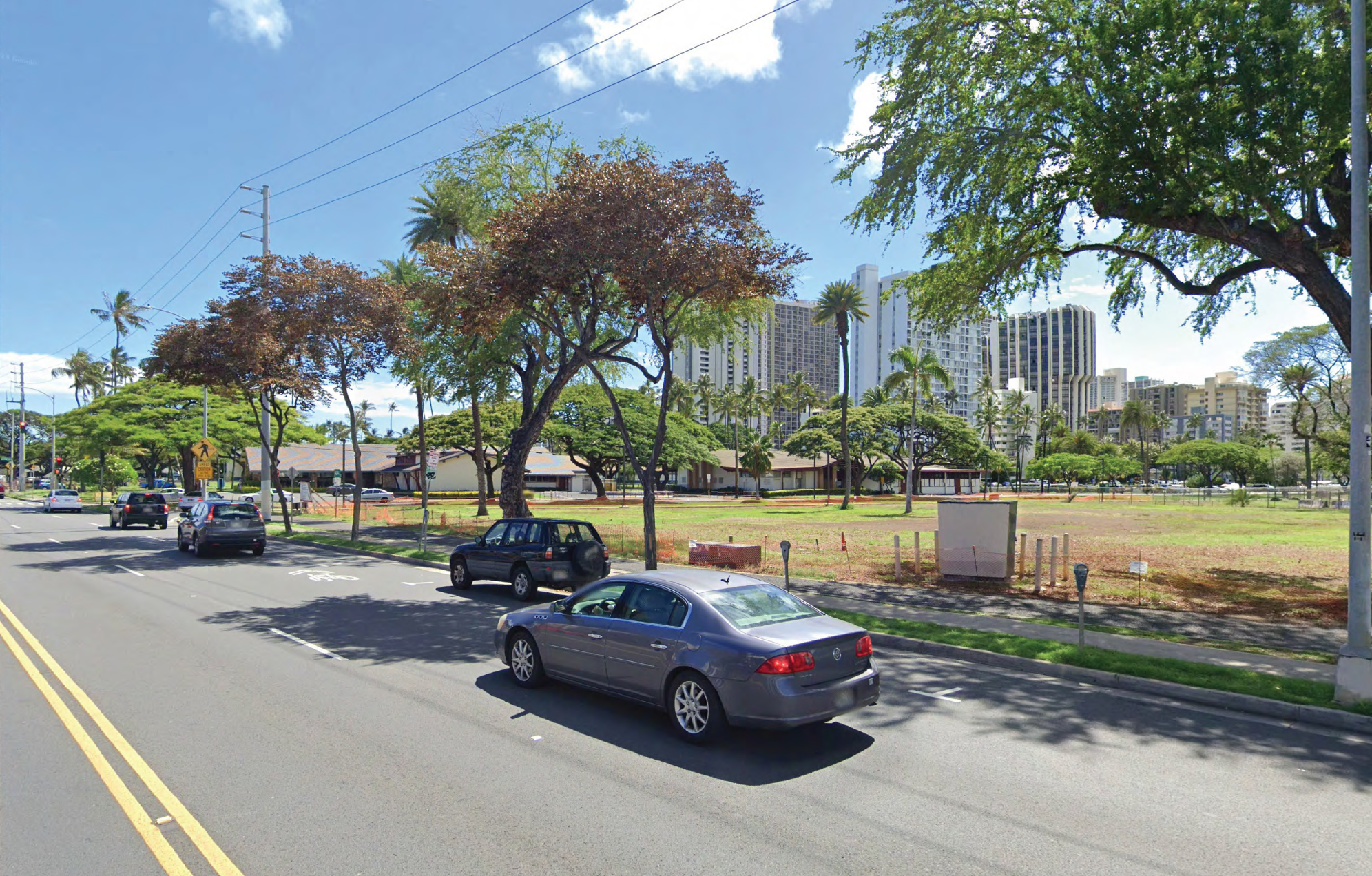
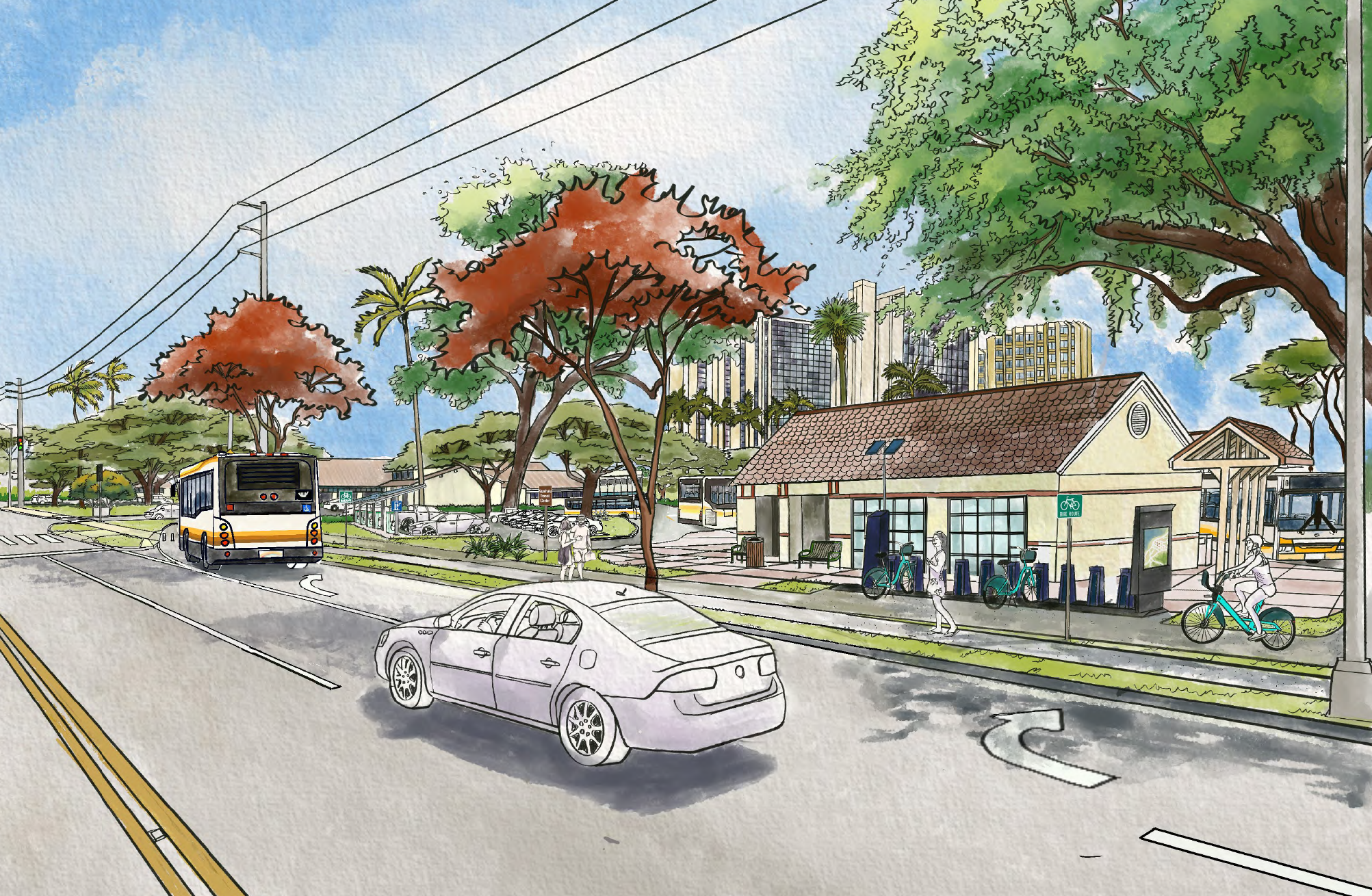
The Mobility Hub Planning Study will explore the possibility of creating mobility hubs in Haleiwa and Urban Honolulu. The studies will evaluate options for creating mobility hubs that bring together transit and other transportation modes to create improved travel choices. This includes identifying potential locations, considering mobility features elements and amenities, and assessing feasibility to advance the mobility hubs to next project development phase. The study began in May 2024 and is anticipated to end in 2026. The project is a partnership between OahuMPO and the City and County of Honolulu, with consultant support from SSFM International.

  • Urban Honolulu Mobility Hub Study

    Urban Honolulu is Oʻahu’s busiest and most complex transportation environment, with many travel options that don’t always connect easily. As the city grows and major transportation investments move forward, this study comes at a critical moment. It explores how mobility hubs can better link transit, walking, biking, micromobility, and shared services—making trips simpler, safer, and more reliable while reducing reliance on driving alone and supporting a more connected, people-centered city.

  • Haleʻiwa Mobility Hub Study

    Haleʻiwa plays an outsized role on Oʻahu’s North Shore, serving residents, workers, students, and visitors—yet travel options are limited and parking and congestion are growing challenges. This study explores how a mobility hub could bring together transit, walking, biking, and shared mobility in a way that fits Haleʻiwa’s scale, culture, and environment. The goal is to improve access and safety while supporting local life and preserving the town’s unique character as travel demands grow.

The Site Selection Analysis will evaluate sites in Haleʻiwa and Urban Honolulu that could host a mobility hub, identifying preferred sites in each locations to take forward to Task 2. See report here.

A summary memo of existing conditions, as well as opportunities and constraints identified will be prepared for the preferred site(s). This will include existing site conditions, services, transportation, zoning, ownership, deed restrictions, alignment with existing plans, and other considerations that could affect the site’s use as a mobility hub(s).

The study includes engagement strategies to gather input from stakeholders including agencies, community members, service operators, and others to inform the siting, uses, and service offerings at the mobility hub(s).

The feasibility study and environmental review includes conceptual site plans, a list of utility requirements to support a mobility hub, concept design construction cost estimates, and a list of environmental permitting and compliance requirements.

The final report will include a summary of the findings from previous tasks and the identified preferred alternative, identified potential funding sources, and recommendations, implementation plan, and next steps.

Haleiwa graphic

Recommended Haleʻiwa Sites

The study in Haleʻiwa will evaluate the feasibility of a mobility hub serving the transportation needs of residents and visitors traveling to/from Haleʻiwa and the surrounding areas. Sites owned by the City as well as private landowners in and around Haleʻiwa Town will be considered. This site emphasizes improving destination management and the transportation experience of residents and visitors.

The previous phase of this project identified three sites for consideration and further review: Basin Project Site, Bishop Estate - Makai, and Dole Foods Adjacent to Weed Circle.

Basin Project Site

Current Possible mobility hub

Bishop Estate Makai

Current Possible mobility hub

Dole Foods Adjacent to Weed Circle

Current Possible mobility hub

Map of Selected Sites

Urban Honolulu Graphic Streetscape

Recommended Urban Honolulu Sites

The study in Urban Honolulu will evaluate the feasibility of a mobility hub serving the transportation needs of residents and visitors traveling to/from Haleʻiwa and the surrounding areas. Sites owned by the City as well as private landowners in and around Haleʻiwa Town will be considered. This site emphasizes improving destination management and the transportation experience of residents and visitors.

The previous phase of this project identified three sites for consideration and further review: Ala Wai Golf Course – Kapahulu Frontage Site and the State DLNR Recycling Site.

State DLNR Recycling Site

Before After

Ala Wai Golf Course -- Kapahulu Frontage Site

Before After

Map of Selected Sites

Haleiwa Streetscape

Contact Information
Name Oahu Metropolitan Planning
Phone (808) 587-2015
Email oahumpo@oahumpo.org
In writing

707 Richards Street, Suite 200 Honolulu, HI 96813

Public Engagement activities at the OahuMPO are funded in part by the Ulupono Fund at the Hawaii Community Foundation.